Trail Running in Joshua Tree National Park
After four days of traveling and unpacking, by Sunday it was time for a run. But where? Why not Joshua Tree National Park?
We did a little research, which led us to websites with guys & gals who used descriptors like “epic” and “ultra”, wore visors and had the weathered look of people who ran a lot, didn’t eat that much and had seen a lot of sun.
Bit of background on us – nothing we do is “ultra”. After a few years of half-marathons, we have settled into a regular routine of 3-4 mile runs with a weekly or bi-weekly run of 6-8 miles. Curt has a weird calf thing that flares up and causes agony without much advance warning (fun!) and Wendy's knees are toast at 10 miles. So, what to do?
Run 1: Geology Tour Road
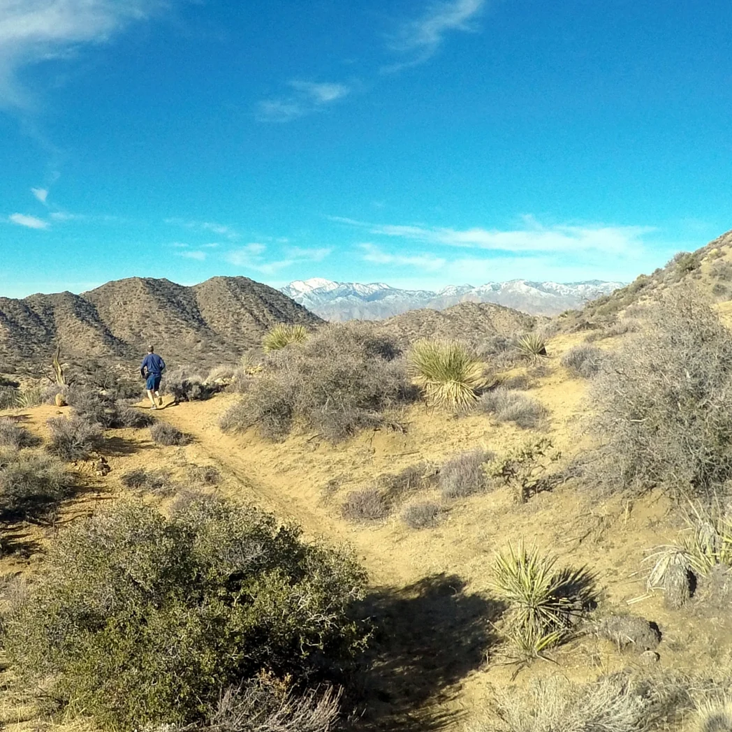
Hats off to Curt who was way more determined than Wendy to just give it a go and who was responsible for us actually running in Joshua Tree, not just thinking about it. We found the Geology Tour Road, which linked up with the California Hiking and Riding trail and had a good six-mile run. It was a bit brisk in the 30’s (are my teeth chattering?) and cloudy...but got sunny by the time we were done. Curt’s calf pain flared up at mile four, so we got a nice walk break just when the sand was beginning to feel a little too deep.
Distance: We ran 6 miles, but Geology road is 18 miles round trip. California Hiking and Riding Trail is 35 miles end to end.
Elevation Gain: FLAT
Run 2: West Side Loop
The Black Rock Canyon area of Joshua Tree National Park is only about 5 miles from where we are staying, so we've been exploring there quite a bit. It sits at about 4,100 ft.
The best parts of this trail reminded us of our favorite trail run in Richmond VA - Buttermilk and Northbank. This one is shorter, but more intense. Like a roller coaster ride of running - with a backdrop of mountains. Unfortunately, the start and end are both long ascents in sand. We found ourselves wheezing through these like nobody's business! Knowing that, the big question is - will we do it again? Our track record says, "No".
Distance: 5 miles
Elevation Gain: ~500 ft
Run 3 - East Boundary Trail (kinda)
We can tell you what the route was supposed to be, but what it ended up being is a different story. The trail started outside the boundary of the park, and was supposed to link up with East Boundary Trail and then the California Hiking and Riding trail to make a loop. This was one of those experiences where we happened to be looking left, when the sign was on the right - twice! We figured it out on the way back ( a theme for us), but by then we had slogged through 2 miles up hill, with one of those miles in deep sand. So, we called it a 4 mile up and back route.
This trail was a nice demonstration of the fact that we'll do things our first time on a trail that we wouldn't otherwise be willing to do - because we have no idea what's up ahead!
It was also our first "no cameras" run. While we are have loads of fun capturing our experiences to share, we have found that the cameras have been distracting us from just enjoying the view.
Distance: 4 miles
Elevation Gain: 500 ft